


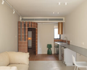

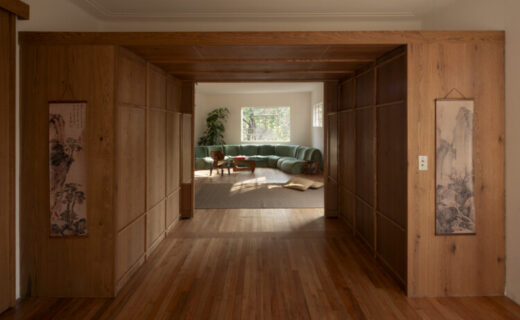
Refurbishment Popocatépetl 35 / Studio Font
Hipódromo Condesa emerged in the 1920s as one of the first experiments in modern urbanism in Mexico City. The neighborhood occupies the former horse racetrack of the capital and, from that preexistence, constructs a…